 English
Views: 208 Author: Site Editor Publish Time: 2019-05-28 Origin: Site


With the wide application of microprocessors and development of drone long range video transmission technology, governments around the world have more and more needs for mapping information, data content and updating. A new type of measurement method UAV aerial photogrammetry is constantly appearing in the public. To build a digital city, it is necessary to urgently develop a low-altitude unmanned aerial vehicle aerial survey remote sensing system. With the rapid development of the economy in recent years, China's infrastructure has gradually developed into a relatively prosperous period in the continuous improvement. In this process, the construction of infrastructure has been slowly taken seriously by people. Among them engineering measurement technology and topographical measurements are especially important.
In order to complete these two tasks better, the drone technology was introduced to complete the surveying and mapping measurement. UAV technology is also known as UAV aerial survey and remote sensing technology. It refers to the use of radio equipment to control unmanned aircraft and apply it to a modern technology in production and life. It has the characteristics of automation, intelligence, and professionalization to quickly obtain the required data information.

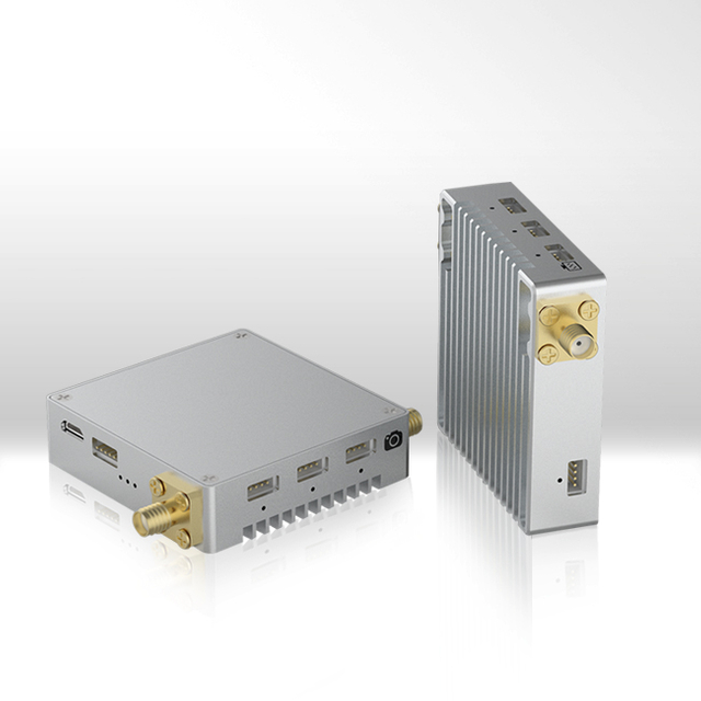
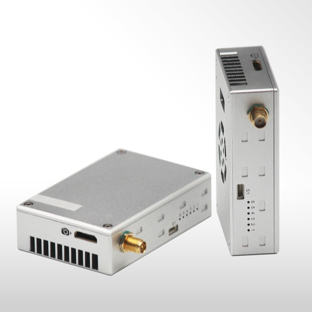
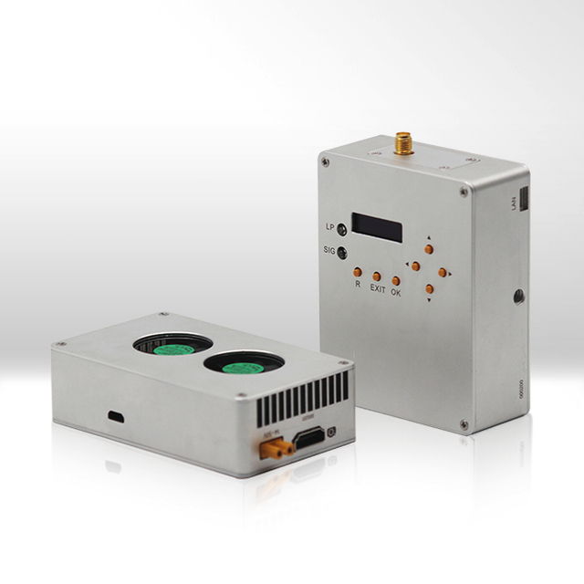
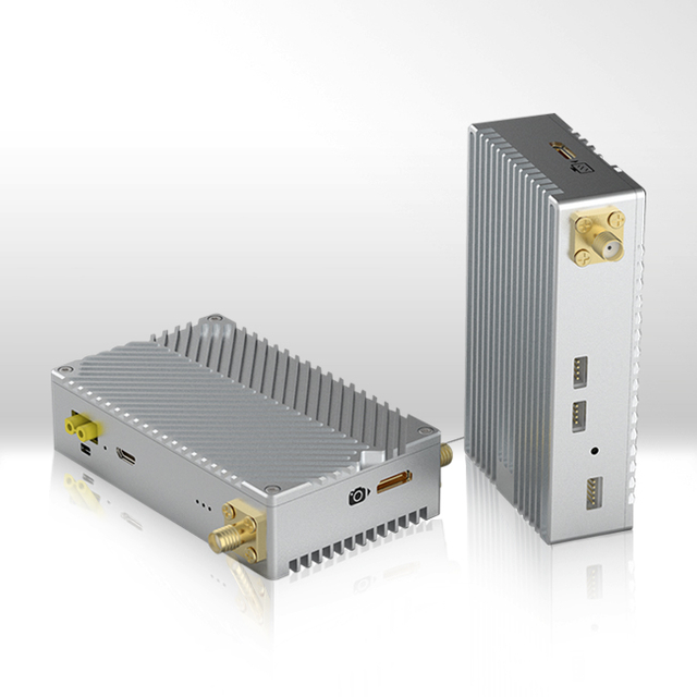
In the continuous development of science and technology in recent years, UAV technology has also been continuously updated and slowly show its unique working advantages in the field of surveying, including real-time mapping, maneuverability, resolution and so on. UAV technology gradually replaces aerial photography and satellite remote sensing in traditional measurements. The drone can easily transmit the ground image video to the technicians for analysis and measurement, which greatly saves the workload and has achieved great social and economic benefits. For some long range mapping engineering, the drone can also achieve real time video transmission for 50km range or longer.
The application of remote sensing systems in UAVs has many effective advantages, such as strong maneuverability, fast response, quick command completion, high accuracy of surveying and mapping information, wide range of applications for drones and low cost and so on.
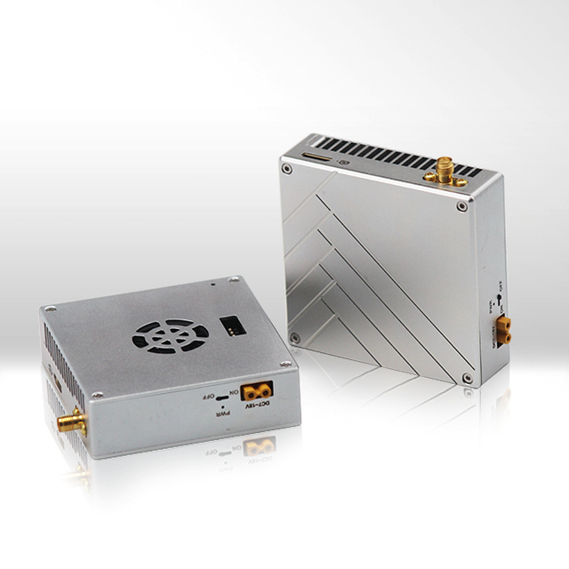
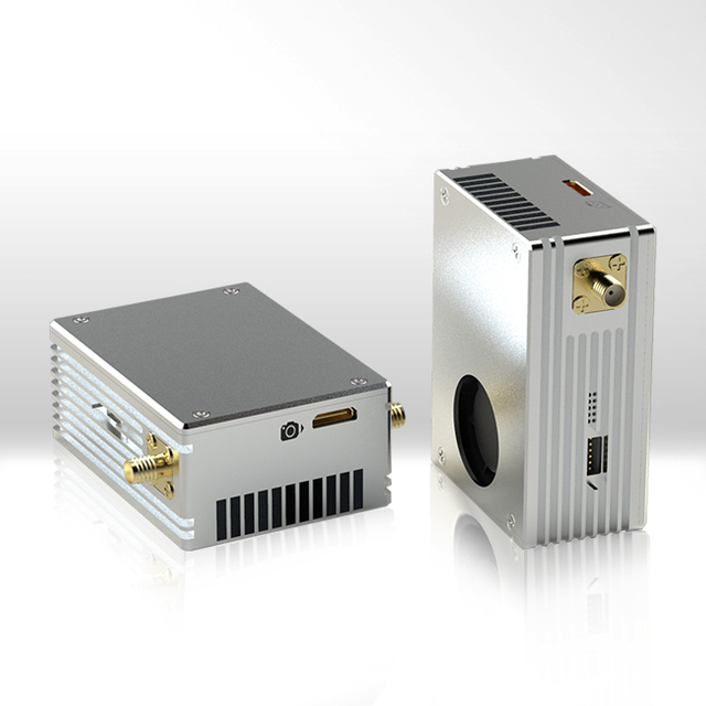
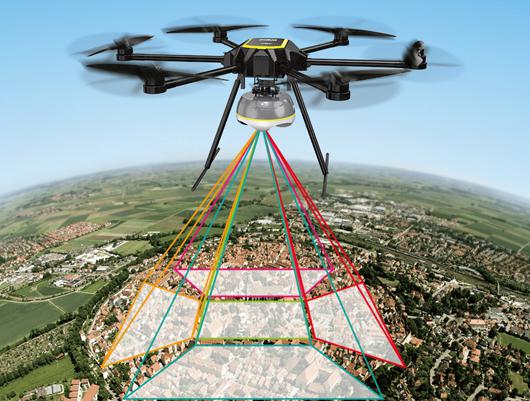
The high efficiency of drone technology can reflect its larger detection range in handling and responding to emergencies, and it can quickly generate clear images and data of detection areas then transmit these data to relevant departments by wireless long range drone transmitter for for analyzing and making corresponding countermeasures. This advantage can not only improve the reality of surveying and mapping, but also improve the ability of emergency services. The monitoring range of a single drone can be up to 2100 square kilometers, so the monitoring efficiency is greatly improved. The image resolution of drones is higher than that of satellite images, and the main range is between 0.1 and 0.5 m. At the same time, data can be collected quickly and processed efficiently.
The situation in the monitoring area can be displayed in a macroscopic manner using 3D simulation technology, and this technology can facilitate the decision-making of relevant departments. Drones of different aeronautical altitudes have their own detection range to cover a wide range of high-altitude detection as well as small-area grounds, and both can achieve accurate detection results. Besides the various of detection range, different drones also have their own transmission range for data and image such as 5km to 50km.

In the remote sensing inspection of drones, multiple UAVs can be implemented to cope with the work, mainly dealing with monitoring operations in a wide range of tens of thousands of square kilometers. The relevant staff can analyze the results through the spectrum, so that a wide range of monitoring data can be obtained. Then combine this information with the traditional information, and finally get the overall information of the entire monitoring area.
The expansion of civil demand and the gradual maturity of aerial photography technology have made the application of drones infiltrate all walks of life in the civilian sector. It can be applied to land resources exploration, digital city development and construction, communication station establishment, national map mapping, urban development planning, real-time monitoring of emergencies, disaster prediction and assessment, urban street traffic, network cable laying, mineral development, environmental management. , ecological protection, forest management, digital agriculture and other fields. In the surveying and mapping project, the main function of the drone is to obtain a planographic orthophoto map with a kilometer grid and annotations prepared with orthophotos. An orthophoto is a picture taken with a drone and the entire picture has no distorted images.
When working in some harsh workplaces, it is often impossible to shoot with traditional aerials because of the environment. For example, high mountain obstacles and road failures make it impossible to achieve normal takeoff and landing. Or the cloud is too low to shoot. At this time, the drone can reflect his unique aerial photography effect. It is easy to take off for aerial photography in any terrain. This not only improves the measurement results, but also accurately collects high-altitude images.
The earthwork can be calculated by aerial survey. The principle is to set a certain flying height during flight (this flying height means maintaining a certain height with the ground). Therefore, we can derive the elevation value based on the flight altitude trajectory. Then use the PostFlight Terra 3D software to calculate the amount of earth and stone.
UAVs have high requirements for automation, while map-at/cs perfectly enhances the drone's automation and image processing capabilities. This system has excellent performance in large-scale mapping such as getting high-resolution and high-definition images. The drone has an ultra-wide HD digital camera that is automatically calibrated. It uses software to check and use image overlap to reduce errors during image collection. Therefore, the weight of the imaging system is greatly reduced, meeting the needs of low-altitude aerial surveys.

There are three different types of UAS surveying and mapping remote sensing systems: inverted tail, vertical tail and double hairstyle. This system is not only equipped with a small digital camera, but also enables fixed-point exposure photography and automatic deflection correction with good maneuverability and adaptability. Land acquisition measurement is a necessary link to convert collectively owned land into state-owned land. Land disputes often occur when measuring. Especially for land with a large slope, the villagers want to measure with a slope while government stipulate measuring it with a plane. Therefore, using UAV aerial surveys and orthophoto maps will greatly reduce the disputes caused by measurement.
At present, China is in the process of continuous construction and development. UAV technology has demonstrated its unique advantages and characteristics in the measurement and mapping work. Therefore, relevant departments should spare no effort to develop drone technology to make it continue to innovate and develop to provide technical support for surveying and mapping work or other industries.