 English
Views: 239 Author: Site Editor Publish Time: 2019-05-28 Origin: Site


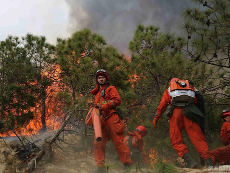
Natural disasters usually happen suddenly. The key to disaster emergency rescue is the rapid response after happening. Timely and accurate disaster information plays a vital role in timely formulating rescue strategies and improving rescue efficiency and rescue quality.
At present, satellite remote sensing and manned aerial remote sensing are affected by space-time resolution, external environment and use cost when acquiring disaster information, which limits their role in disaster emergency rescue. The UAV aerial remote sensing system has the characteristics of real-time data and video transmission, flexible operation, high image resolution and low cost. The most important thing is that it can work in high-risk areas. So UAV system is very suitable for emergency rescue of various natural disasters.
In recent years, sudden and catastrophic events have occurred frequently around the world, which has seriously threatened people's lives and property safety. At the same time, it also affected social stability seriously. Therefore, strengthening emergency management of emergencies is a major event related to the country's economic, social development and the safety of people's lives and property. Countries around the world not only improve their own emergency management mechanisms but also introduce advanced technologies and equipment enhance emergency management capabilities. Among them, drones are an important tool.
Unmanned aerial vehicle (UAV) is an aerial vehicle that is operated by a wireless remote control device or controlled by a program. It does not require the pilot to drive in the cabin and the flight is automatically controlled by a electronic device. So there is no need to install any pilot-related equipment on it, which effectively saves and utilizes space to load other payloads to accomplish various tasks. The biggest difference between a drone and a manned aircraft is that drones cannot perform any task without a strict control system and equipment to be carried according to the mission.
The world's first drone was born in 1917 made by the British. It has been around for nearly a hundred years. However its application was from the 1950s. It was used as a target drone in the early days. Later, it was gradually used in the fields of aerial reconnaissance, electronic countermeasures, and target indication. In the Vietnam War of the 1960s and the Middle East War of the 1970s, drones had important performances. During the Gulf War and NATO air strikes against Yugoslavia, drones were frequently used to perform military missions.
After the Gulf War, the role of drones in the war was fully recognized. Many countries began to apply high technology to drones to make their technology develop rapidly. The use of lightweight materials and new designs has greatly increased the endurance of the drone. Advanced signal processing and communication technology improve the image transfer speed. Autopilot allows UAV to automatically change altitude and heading to the target. The ground operator can change the flight data as needed through the computer. In the war of the 1980s, drones were already able to attack targets on ground. Its importance in the military field is more and more clearly presented to the world.
After nearly a hundred years of development, there are variety types of drones. If classified by flight distance, there are short-range drones, medium-range drones and long-haul drones. If classified by aircraft shape, there are micro drones, small drones, medium drones and large drones. If classified based on its military applications, there are target drones, reconnaissance planes, jammers and attack aircraft. If classified depending on flight principle, there are fixed-wing drones, rotor-wing drones and unmanned helicopters.
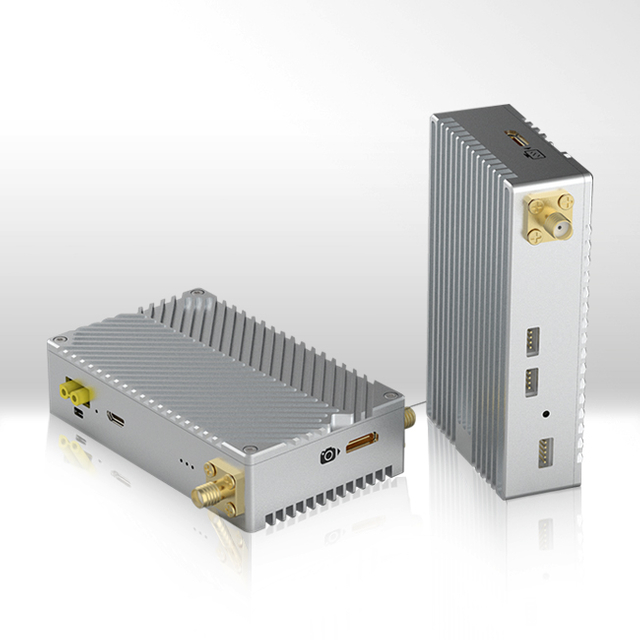
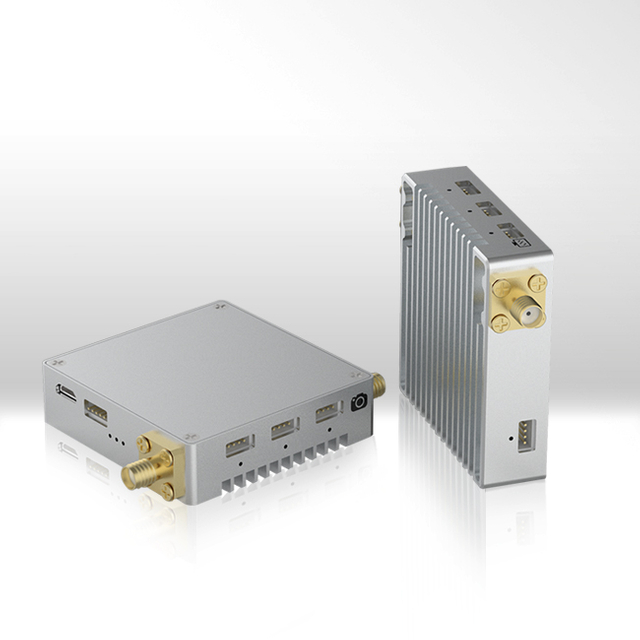
The UAV remote sensing system is mainly composed of unmanned aerial vehicles, flight control systems, stable pan-tilt, mission sensors, wireless communication systems, data processing and application analysis systems, and ground control systems.
The unmanned aerial vehicle: It is consist of a engine, a steering gear, a flight control unit, a wireless communication unit, a GPS unit, an attitude measuring unit, and a self-feedback stable pan-tilt.
The flight control system is composed of an airborne control unit and a ground monitoring station. The onboard control unit is modular in design and solidified into UAV interior. Ground monitoring station monitors and regulates the flight and mission status in real time.
The stable pan-tilt automatically monitors the heading, pitch angle and flip angle of the aircraft and implements the task sensor to be parallel to the horizon and vertically shooting through a three-axis self-feedback control platform.
The mission sensor can be equipped with digital cameras, digital video cameras, infrared cameras, hyperspectral sensors and other sensor devices according to remote sensing mission requirements.
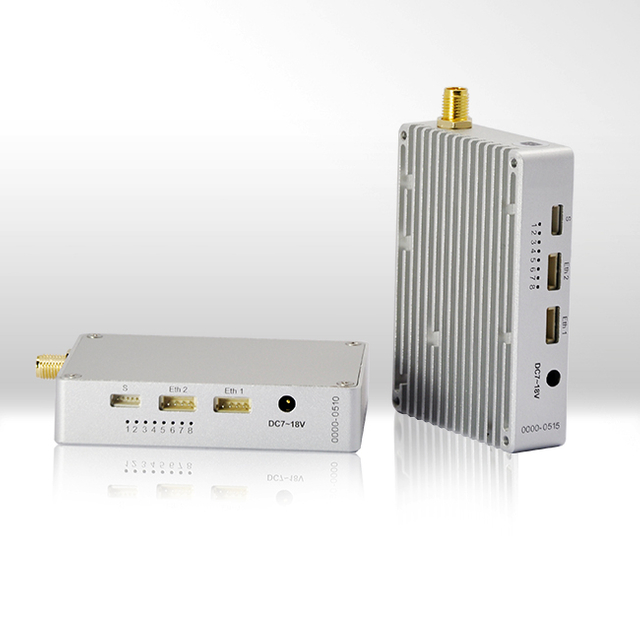
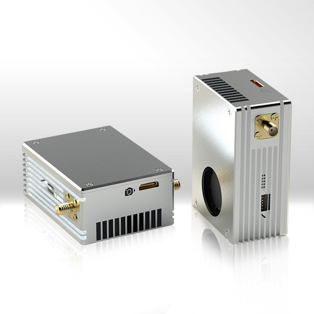
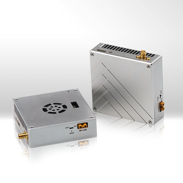
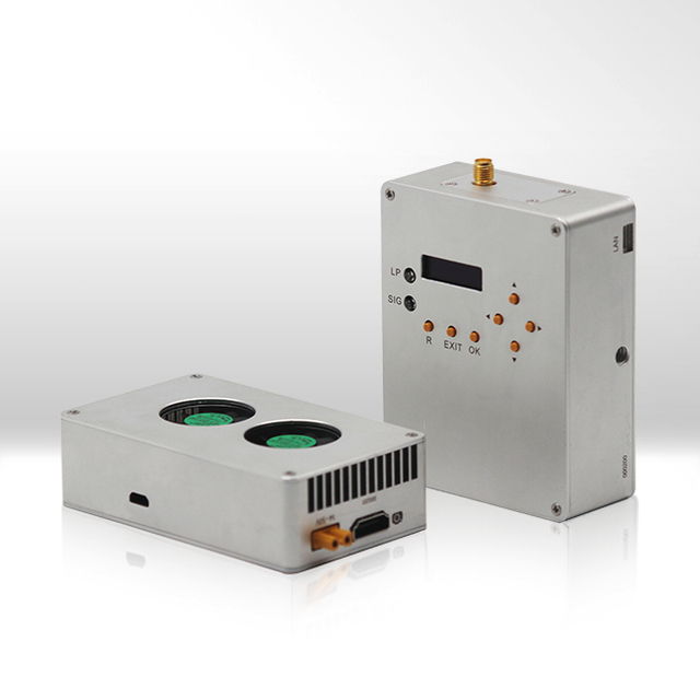
Wireless communication system realizes point-to-point real-time data and hd video transmission through wireless COFDM technology.
The data processing and application analysis system can automatically batch process video and multi-spectral images in real time, quickly detect and identify edges, and measure structural data to realize rapid positioning, classification, feature parameter statistics, development situation prediction and thematic information extraction and mapping of monitoring targets.
The ground control system mainly sets the flight path of the drone through the wireless communication system, collects the flight parameters, receives and monitors the data collected by task sensors, and adjusts the flight attitude and tasks according to the parameters in real time.
UAV aerial remote sensing system can be used in resource survey, environmental monitoring, disaster emergency rescue and so on.
At present, the main flood hazard monitoring method is to analyze the flood situation of the entire drainage basin through the hydrological data obtained from the hydrological survey site on the ground.But these scattered information points are difficult to form a comprehensive information net. If the drone aerial remote sensing system is used to capture the disaster situation from the air, the information obtained will be faster, more objective and comprehensive than other conventional ways. Its main applications are as follows:
(1) Using video captured by drones to analyze the current status, changes and trends of flood situation.
(2) Extract the flood range on the aerial film and assess the damage loss.
(3)Determine the water level and water depth in combination with topographic data
(4)Combine land use databases to determine different land submerged types and areas.
Disaster information and image data provided by UAVRSS can be used for loss assessment, process monitoring and accurately calculating the disaster area. At the same time, UAVRSS can implement real-time dynamic monitoring of the intensity and distribution of rain, snow and ice disasters helping us to quickly study the general law of the disaster occurrence and development and provide timely and comprehensive information for making effective disaster relief measures.
The images of geological disaster areas provided by drones include information on geology, geomorphology, soil, hydrology, land use and vegetation. This information constitutes the basis for the assessment of geological disasters. It is important to improve the scientific, accuracy and effectiveness of geological disaster management and disaster situation assessment in the region. Moreover, it can greatly improve the efficiency and modernization level of disaster reduction, resistance and prevention.
For major geological disasters such as landslides and debris flows, we can obtain disaster severity and distribution through the data provided by UAVs to help government allocate emergency response resources and quickly obtain the debris flow environment information and monitor its dynamic changes to provide basic data for accurate forecasts.
The earthquake is sudden and strong destructive. So information’s timeliness is critical in the rescue. After earthquake, it is necessary to quickly grasp the early comprehensive information and timely investigate the loss so that disaster relief decisions and implementation measures can be quickly and accurately formulated to minimize losses. However, the disruption of communications and traffic and the recurring aftershocks make it impossible for people to fast obtain full information through conventional means.
Drones can quickly obtain information of earthquake-stricken areas. Using the sensors to truly record the natural topography, artificial landscape and traces of human activities on the ground, which can accurately, objectively and comprehensively reflect the comprehensive landscape of the earthquake-stricken area and provide a scientific basis for seismic damage investigation and rapid assessment of losses. Moreover, it is possible to determine the location of the earthquake zone, the extent of the disaster area, the distribution of macroscopic seismic intensity, the damage of buildings and structures, and the engineering facilities that are in urgent need of repairs providing quick decision-making for the disaster, quick assessment of earthquake losses, disaster relief and disaster reduction.
1. Easy to carry and respond quickly
Small drones are only a few kilograms and can be manipulated by remote control or laptop. An unassembled drone can be easily carried in a car or on a plane. Some drones require very simple take-off conditions, and they can be ejected and taken off in a car. For the VTOL drone, it can take off with a few square meters of flat land.
2.The live video information is transmitted to the command center in real time for the commander to make judgments and decisions.
The basic equipment normally mounted by UAV is camera and video transmission system. The digital camera is responsible for video shooting and then output it to transmitter onboard. The After encoding and compressing, transmitter send video data to receiver in command center.
3.With communication relay function, fast recover local communication on site
Air communication relay is an important use of drones. When natural disasters (such as earthquakes, floods, mudslides, tsunamis, etc.) occur, the original wired and wireless communication systems on the ground are destroyed in a certain area. At this time, information transmission becomes a big problem. The drone can be used as a convenient communication relay machine to build an invisible information "bridge" between the command center and the scene, quickly forming an emergency local wireless communication network to solve the urgent need and win valuable time for disaster relief.
4.Track the development of the incident and help the command center to implement uninterrupted command processing
Because the drone is easy to use and can continuously track the development of the event, it will help the command center to grasp the event situation in time. In terms of tracking incidents, drones have an advantage over manned aircraft. Due to its small size, its speed is easy to control. Because of its good maneuverability, the drone can be turned over quickly when a sharp turn is needed. In addition, drones can fly at very low altitudes, while manned aircraft flying in the mountains are subject to flight height limitations.